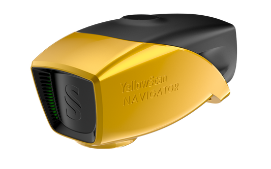
Collection: YellowScan
YellowScan builds industry-leading LiDAR solutions designed for high-precision 3D mapping applications. Engineered for reliability and accuracy, YellowScan systems integrate seamlessly with UAVs, delivering high-quality geospatial data for surveying, forestry, mining, and infrastructure projects. Whether you need lightweight LiDAR for drone-based surveys or a high-performance solution for demanding terrains, YellowScan ensures efficiency and precision in every scan.
Explore our collection of YellowScan LiDAR systems and accessories to find the right solution for your mapping needs.