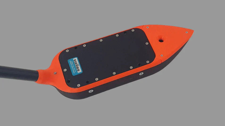
Discover the future of 3D mapping with KickTheMap, a company that has revolutionized geospatial data capture and processing. Instead of relying on expensive, traditional methods or complicated photogrammetry, KickTheMap provides an accessible, mobile-first solution that anyone with a smartphone can use. Their app, combined with the optional HaX GNSS RTK rover, allows for the effortless creation of high-quality, centimeter-accurate 3D models.
KickTheMap's integrated platform is a game-changer for a variety of professionals. It's a perfect tool for surveyors, engineers, and construction managers who need to map utilities, calculate volumes, or model infrastructure with speed and precision. The intuitive app automatically takes pictures as you walk, and the data is then processed in the cloud, with the final 3D model delivered within 24 hours. This streamlined workflow allows for the visualization, measurement, and export of crucial location-based data, empowering users to make smarter, faster decisions on-site.