
Enhancing Mission Outcomes through Real-Time Intelligence
Success in emergency services is measured by the speed of data acquisition and the safety of the personnel involved. Traditional reconnaissance methods often involve high-risk manual intervention and significant time delays. By integrating AlphaGeo’s specialized autonomous platforms, agencies can establish a persistent tactical advantage. Our solutions facilitate immediate 2D mapping for disaster relief and deep-water intervention for recovery missions, shifting the operational model from reactive to proactive. This technological integration effectively reduces human exposure to hazardous environments while ensuring that decision-makers have access to high-fidelity data when seconds are critical.
Specialised Equipment For Public Safety & Emergency Services Professionals

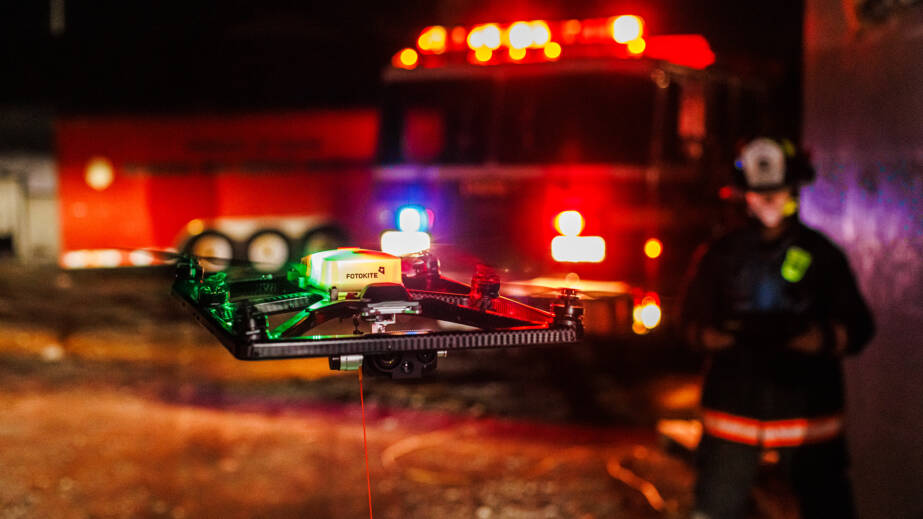
Fotokite Sigma - Tethered Drone


Up to 200m of exploration

Ultra-clear camera

Powerful propulsion

Advanced Tether System
Persistent Oversight
The Fotokite Sigma utilizes a high-strength tether to deliver constant power and secure data transmission, ensuring uninterrupted surveillance during long-duration incidents where standard UAV battery life is insufficient.
Rapid Intelligence
PIX4Dreact eliminates the "processing bottleneck" by generating high-resolution maps at the edge. This allows for immediate situational awareness in disaster zones where internet connectivity and time are limited.
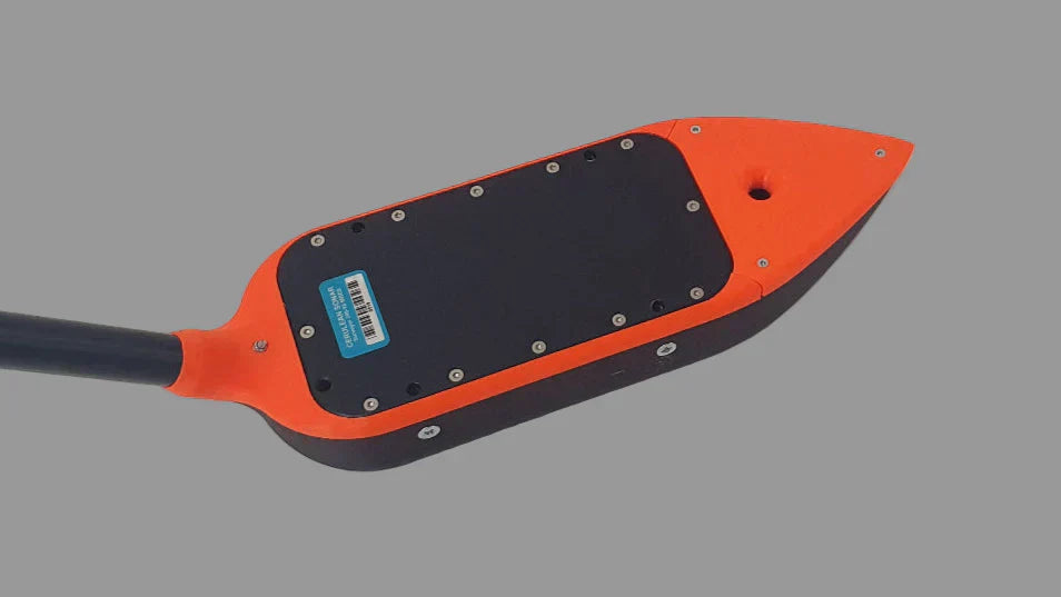
Sub-Surface Intervention
The Chasing M2 Pro Max offers eight-thruster omni-directional movement and a quick-change battery system, providing the maneuverability and endurance required for the most demanding sub-sea recovery missions.
Want more support?
If your looking to ask more questions and seek more support about how Alphageo can support your industry please contact us below