
News
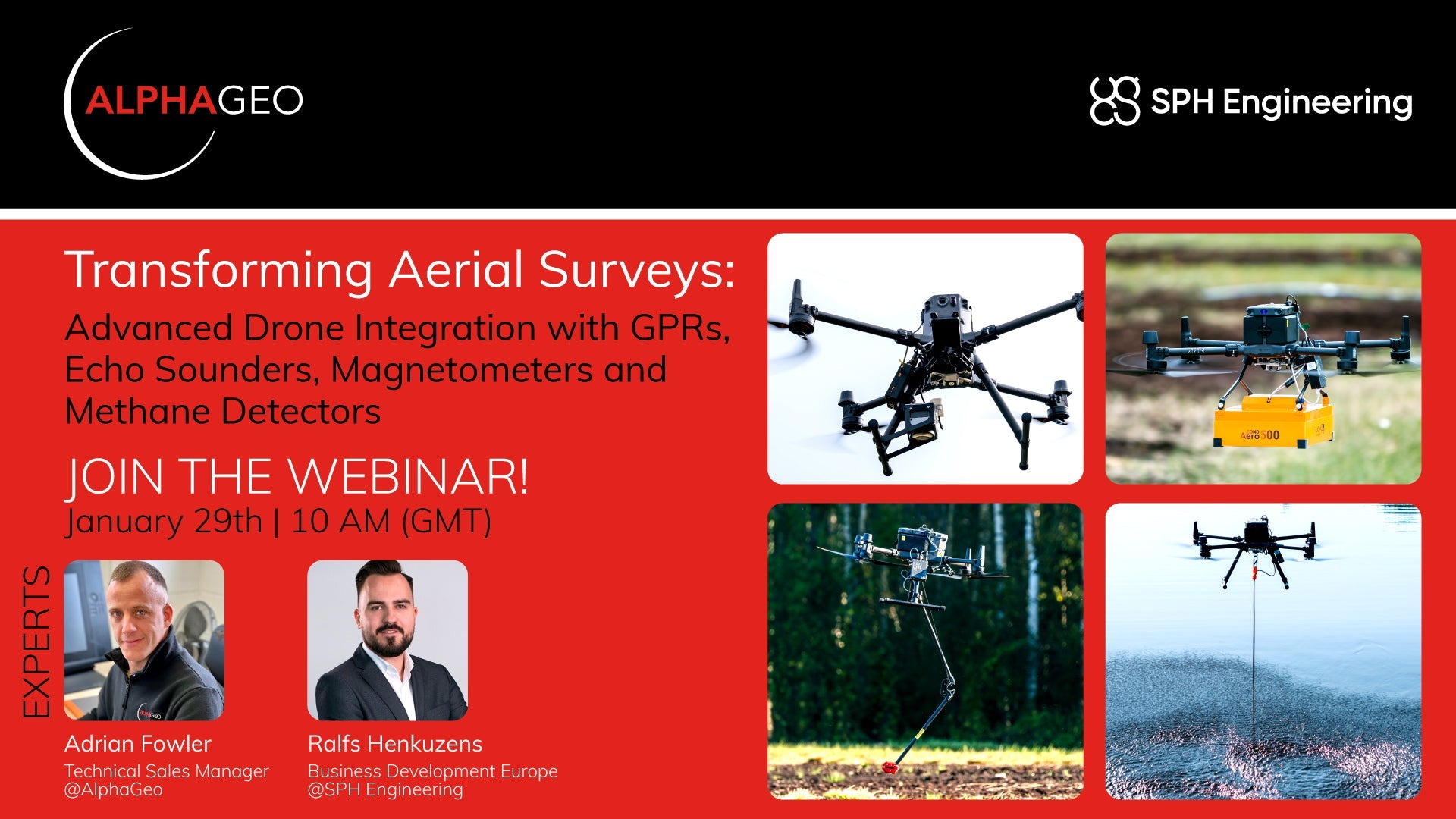
Transforming Aerial Surveys: Join AlphaGeo & SPH Engineering for an exclusive webinar!
🌟 Transforming Aerial Surveys: Advanced Drone Integration 🌟📅 Join AlphaGeo & SPH Engineering for an exclusive webinar! 🚀 What will you learn?Discover how drones are revolutionizing geophysical surveys. In this webinar, we’ll cover:🔍 Subsurface detection techniques📊 Magnetic data acquisition🌊 Airborne bathymetry💨 Remote methane leak detection Take your...

Unlock 3D Modeling with CHASING Underwater ROV
Unlock 3D Modeling with CHASING Underwater ROV 3D modeling plays a crucial role in accurately reproducing complex scenes and objects, offering a level of clarity and precision that is indispensable across various industries: In the sky: For architectural surveying...

The Future Of Drone Detection & Monitoring
Watch the full video here. Adrian Fowler - Head of Sales for AlphaGeo recently discussed the topic of drone detection and monitoring at the AQE show in the UK, find out more below. What products do you represent...

Case Study: Tersus Oscar Ultimate GPS Unit
Introduction The Tersus Oscar Ultimate GPS unit is designed to provide high-accuracy positioning with ease of use and comprehensive documentation available online. This case study evaluates its performance in a practical environment, detailing the setup process, data collection, and results...
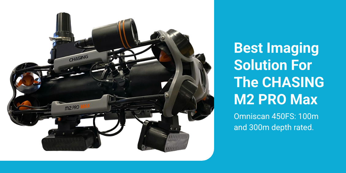
Most affordable forward imaging solution for ROVs
Attention CHASING M2 PRO Max ROV Customers Introducing the Cerulean Sonar Omniscan 450FS for the CHASING M2 Pro Max! The Omniscan 450FS, is the most affordable forward imaging solution on the market, and it is now available for the M2...

How drone based Ground Penetrating Radar works
Ground Penetrating Radar (GPR) uses radar pulses to detect and image underground objects and features. A GPR transmitter emits electromagnetic energy into the ground. When the energy encounters a buried object or a boundary between materials having different dielectric permittivities...

Exploring the Depths using Cerulean Sonar USBL with Chasing ROV
Exploring the Depths: Using the Cerulean Sonar USBL with the Chasing Pro Max Underwater exploration has always been a captivating challenge, from discovering shipwrecks to surveying marine life. With technological advancements, even hobbyists and professionals can now explore the depths with...

Chasing Innovation is a Chinese company that specializes in the development and production of underwater drones and remotely operated vehicles (ROVs). The company is well-known for creating compact, user-friendly underwater drones that are accessible to both professional and recreational users....

Advantages of using ROVs over human divers
Using a Chasing Remotely Operated Vehicle (ROV) over human divers offers several key advantages, particularly in underwater operations. Here’s a detailed breakdown: 1. Safety Hazardous Environments: ROVs can be deployed in environments that are too dangerous for human divers, such...