
News
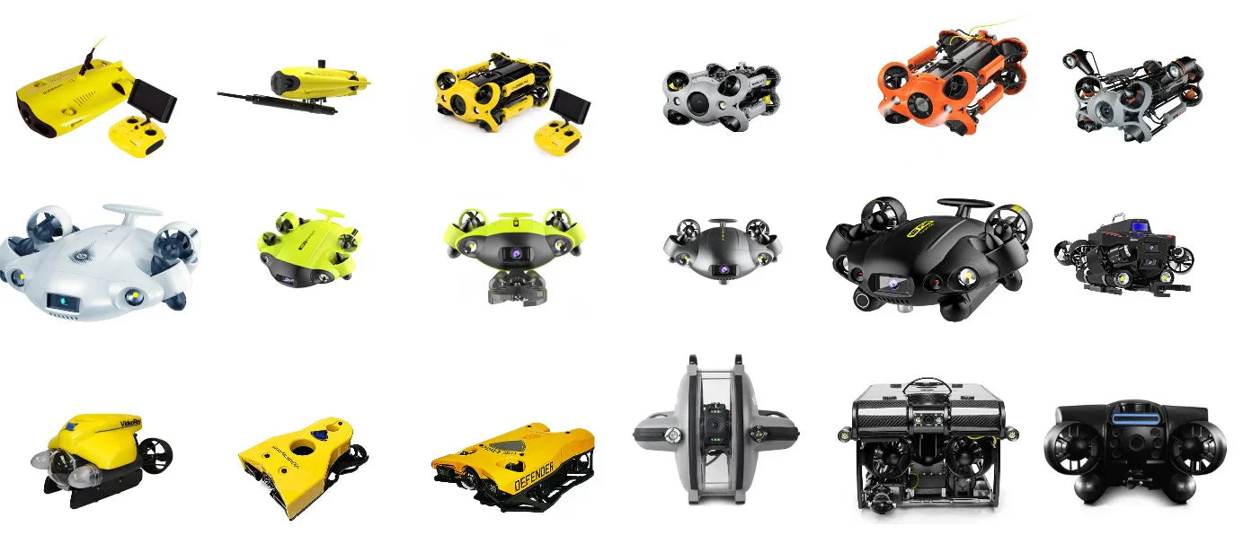
A Sea of Small ROVs: 2025 Market Snapshot
The underwater ROV (Remotely Operated Vehicle) market has never been more dynamic. From open-source platforms to modular workhorses, 2025's landscape of small ROVs offers solutions for hobbyists, researchers, and industry professionals alike. Here's a breakdown of some of the key...

Jamming and Spoofing: Differences and Impaction GNSS Positioning
IntroductionGlobal Navigation Satellite Systems (GNSS), such as GPS, GLONASS, Galileo, and BeiDou, play a crucial role in modern navigation, timing, and positioning applications. However, GNSS signals are vulnerable to intentional and unintentional interference, with jamming and spoofing being the two primary threats. Understanding the...
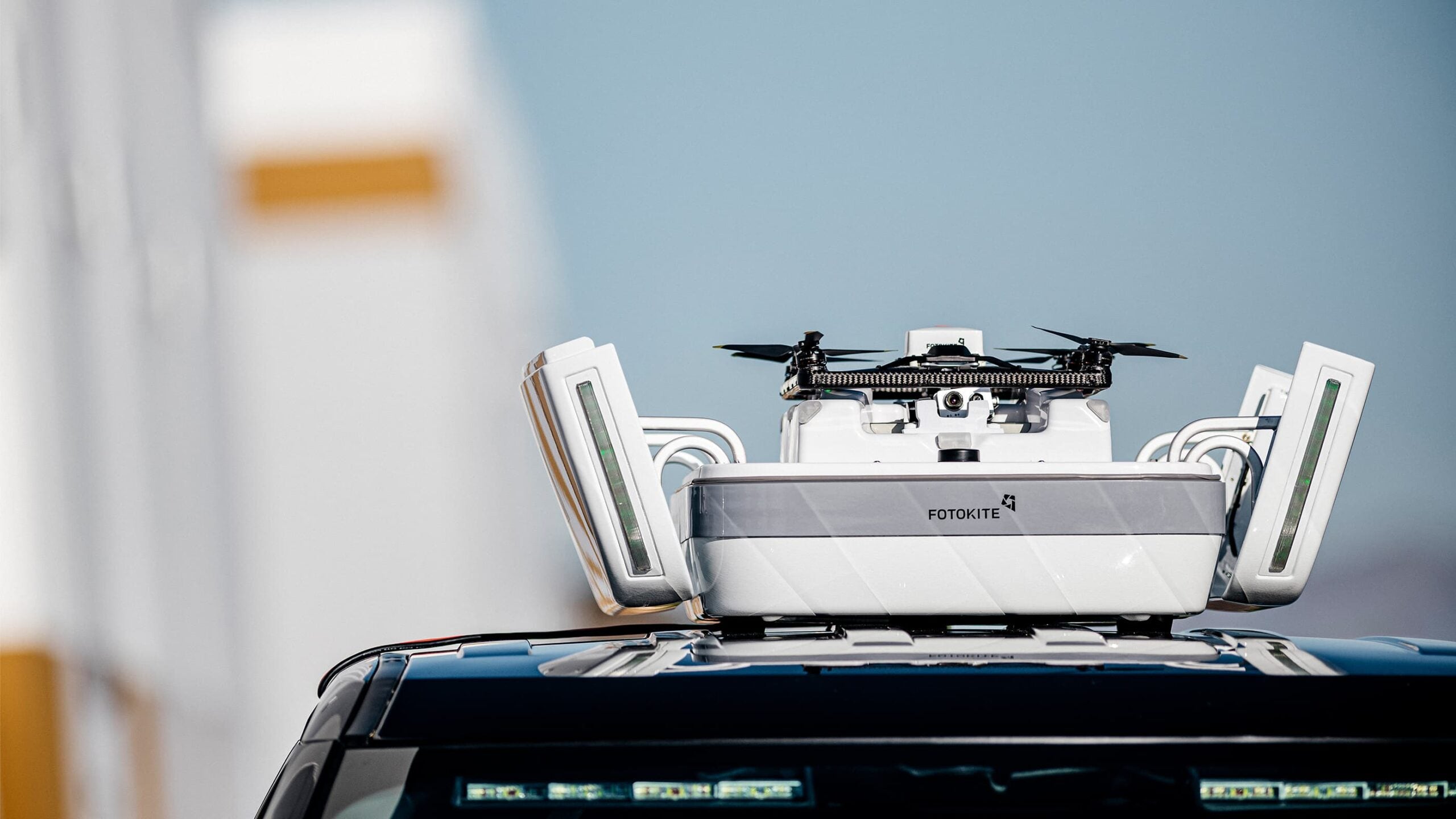
Hands-On Fotokite Demos Now Available – Test the Gold Standard in Public Safety Drones AlphaGeo is now offering live, hands-on demonstrations of the Fotokite – the gold standard in tethered UAVs built specifically for public safety. If you work in...
Tech Comparison: Drone Echo Sounders vs. Traditional Methods
Feature Drone Echo Sounders (Aerial/USV) Traditional Methods (Boat-based or manual) Access to Remote/Dangerous Areas Excellent – can access shallow, hazardous, or inaccessible zones without risk to human operators. Limited – requires launch sites, safe navigation routes, and physical access. Speed...
Affordable, High-Performance Multibeam Echosounder for Bathymetry
Surveyor 240-16: Affordable, High-Performance Multibeam Echosounder for Bathymetry The Surveyor 240-16 is a compact, lightweight multibeam echosounder (MBES) designed for precise bathymetric surveys. Offering an excellent price-to-performance ratio, it is small enough to be mounted on even the most compact...

What Is the Minimum Range for Cerulean Sonar Omniscan 450 Side Scan Sonar?
What Is the Practical Minimum Range for the Cerulean Sonar Omniscan 450 Side Scan Sonar? When working with side scan sonar, one of the common questions we hear is: What’s the minimum depth required for effective imaging? With the Omniscan...

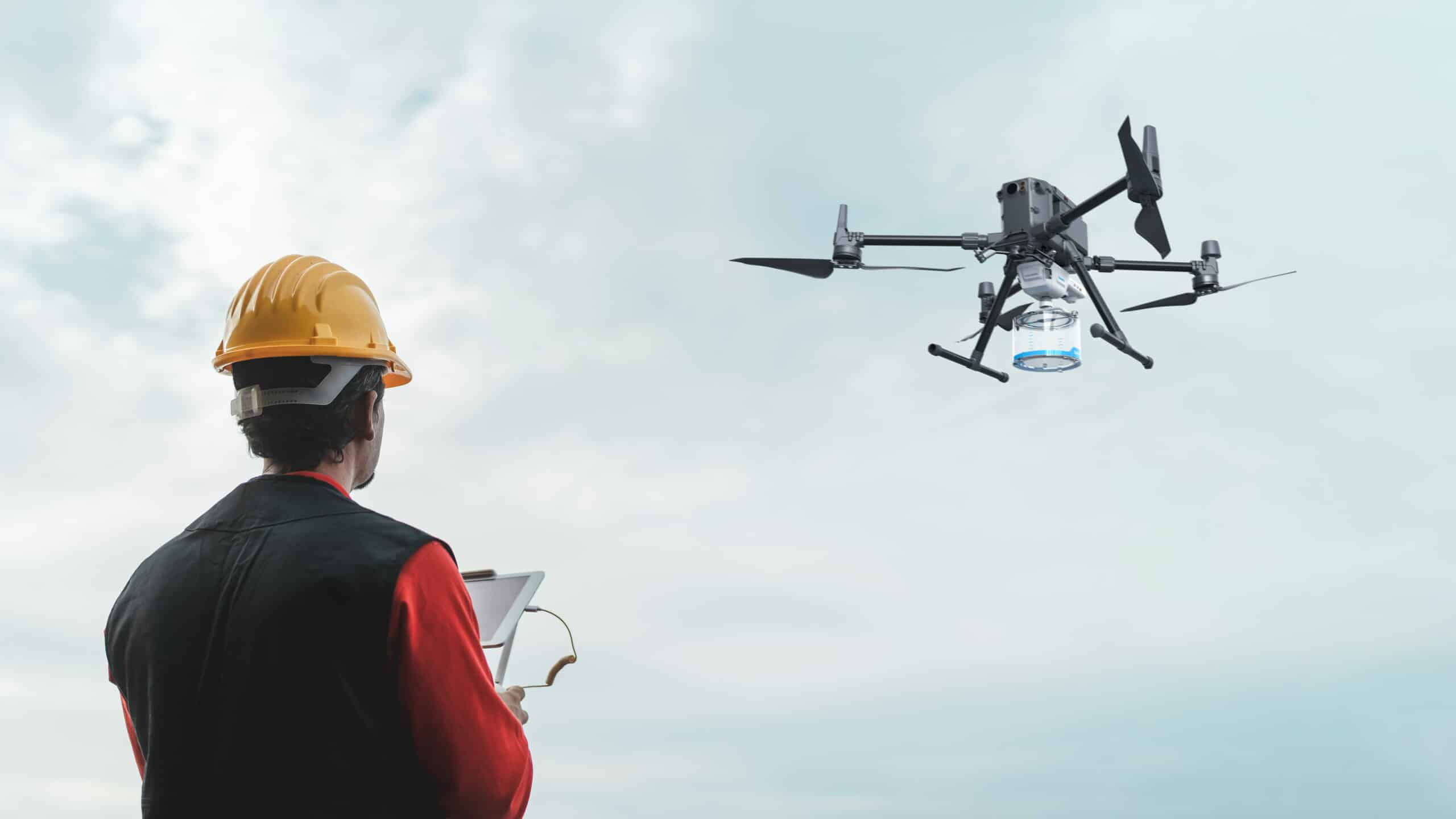
Guide to Using Ground Control Points for Surveying
A guide to ground control points for surveying. Find out what they are, how to place them and how they increase the accuracy of your surveying applications. A guide to ground control points: What they are and how to place...
Top 10 Best Selling Drones, ROVs, Robotics & More!
The world of drones, ROVs, and robotics has expanded rapidly, with numerous high-tech solutions designed to meet a variety of needs. From surveying and inspection to entertainment and education, these innovative devices are transforming industries across the globe. In this...
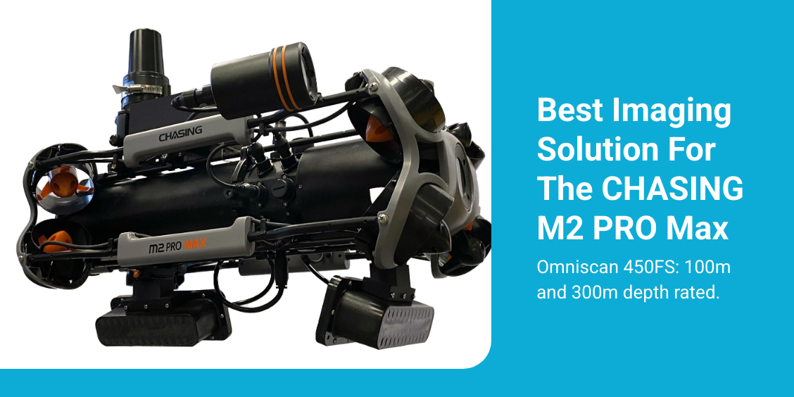
Choosing the Right Cerulean Sonar Omniscan for Your ROV or USV
Cerulean Sonar Omniscan 450: FF, FS, & SS When choosing between the Cerulean Sonar Omniscan 450 FF (Compact), Omniscan 450 FS, and Omniscan 450 SS for your ROV or USV, it's crucial to consider your specific application requirements and how...