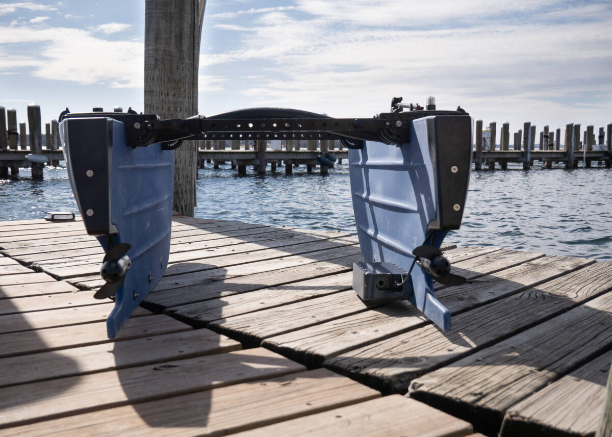
Surveyor 240-16: Affordable, High-Performance Multibeam Echosounder for Bathymetry
The Surveyor 240-16 is a compact, lightweight multibeam echosounder (MBES) designed for precise bathymetric surveys. Offering an excellent price-to-performance ratio, it is small enough to be mounted on even the most compact uncrewed vessels. Its advanced acoustic and processing capabilities make it a reliable tool for hydrographers seeking high-resolution underwater mapping.

Acoustics
Operating at 240 kHz, the Surveyor 240-16 features a 16-element receive array. Unlike traditional beamforming methods, it employs an advanced angle-of-arrival estimation algorithm, allowing it to detect acoustic reflectors with far greater accuracy.
- Cross-track beam width: 80°
- Along-track beam width: 4°
- Angle resolution: Less than 1° (compared to ~7° with conventional beamforming)
This capability enhances the precision of bathymetric surveys, ensuring more reliable data collection.
Performance
- Range: Typically up to 50m (slant range), with performance still reliable at 30m even under compromised conditions.
- Ping rate: Up to 20Hz at close range (~20m), decreasing as range increases.
- Point density: 10-20 points per ping, which can be improved by reducing vessel speed or making multiple overlapping passes.
Environmental factors such as target hardness, vessel pitch/roll, and acoustic interference can affect detection capabilities. However, even in less-than-ideal conditions, the Surveyor 240-16 remains highly effective.
Integrated Sensors
- Built-in 9-axis IMU for pitch and roll compensation.
- Compatible with SonarView software, which integrates IMU data with external position and heading information to accurately georeference each data point.
Housing & Mounting
- Material: Aluminum (300m depth-rated)
- External status LED for operational feedback
- Multiple mounting points: Top, bottom, and sides (M4 - 0.7mm threads)
- Serviceable housing: Not potted or oil-filled, allowing for inspection and maintenance.
- Auxiliary M10 penetrator hole: Allows for relocation of an i2c sensor, such as a Bar pressure sensor on the BlueROV2.
Power & Connectivity
- Power: 10-30V DC, consuming 5W at idle, up to 15W while pinging.
- Communication: Ethernet via 4-position JST-GH connector (Blue Robotics Connector Standard).
- RJ-45 adapter included for ease of integration.
Software & Data Handling
- Current Software: Cerulean SonarView
- Export Formats: CSV, GSF (compatible with most hydrographic processing software)
- Ongoing Integration: Collaborations with hydrographic software providers for expanded compatibility.
- Datalogging: Requires external computer (Windows/Mac/Linux or Raspberry Pi). Logs ~5GB per hour at 20Hz ping rate.
Requirements for Successful Operation
1. Accurate Position & Heading Data
Surveyor 240-16 requires external heading and positioning data, ideally at 20Hz or greater.
- Supported Sources: mavlink2rest, NMEA
- Impact on Accuracy: Errors in position or heading data will directly affect bathymetric results.
2. A Stable Platform
Although the built-in IMU compensates for pitch and roll, a more stable mounting platform will yield better results, similar to camera stabilisation.
3. Thoughtful Mounting Considerations
- Avoid air bubbles, turbulence, and acoustic interference sources.
- Optimal placement ensures clean, uninterrupted data acquisition.

Included with Purchase
- Surveyor 240-16 MBES unit
- RJ-45 adapter
- Mounting hardware
- SonarView software support
The Surveyor 240-16 delivers professional-grade bathymetric capabilities in an affordable and compact package. With its precision, versatility, and ease of integration, it is a game-changer for hydrographic surveyors and uncrewed vessel operators alike. Whether you are mapping inland waters, coastal areas, or conducting scientific research, the Surveyor 240-16 is a powerful tool to elevate your operations.


Share:
What Is the Minimum Range for Cerulean Sonar Omniscan 450 Side Scan Sonar?
Tech Comparison: Drone Echo Sounders vs. Traditional Methods