DJI Zenmuse P1
DJI Zenmuse P1
Enquire for Prices and Availability - Secure Yours Now
Share Product
- Free UK Delivery (Orders Over £100)
- Price Checked (Best Price Guarantee)
- UK Based (Approved Dealer)
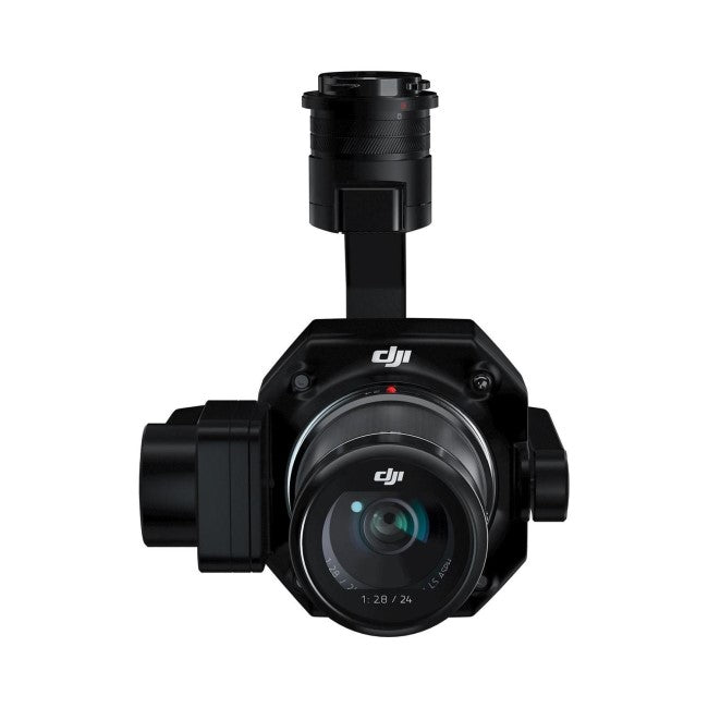
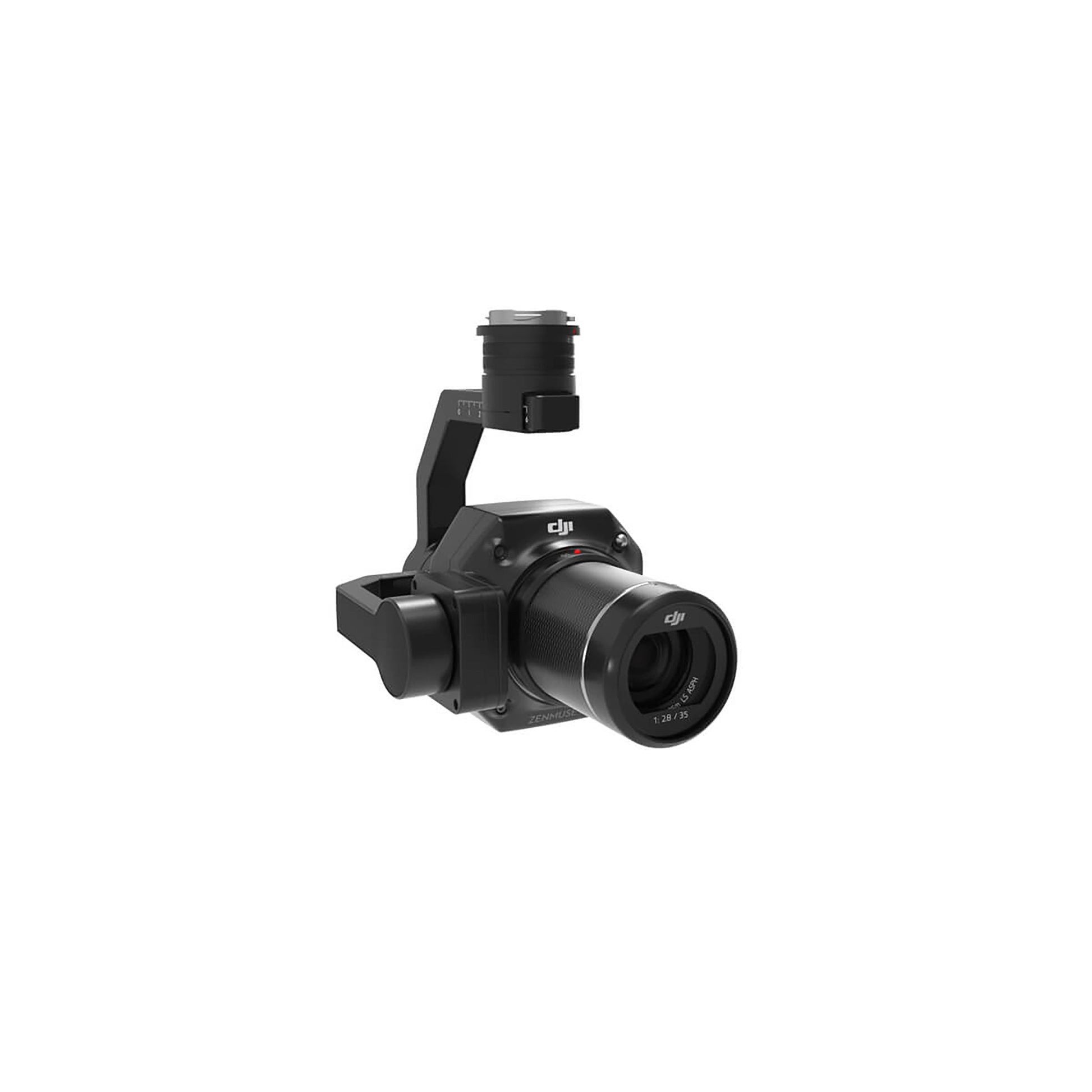
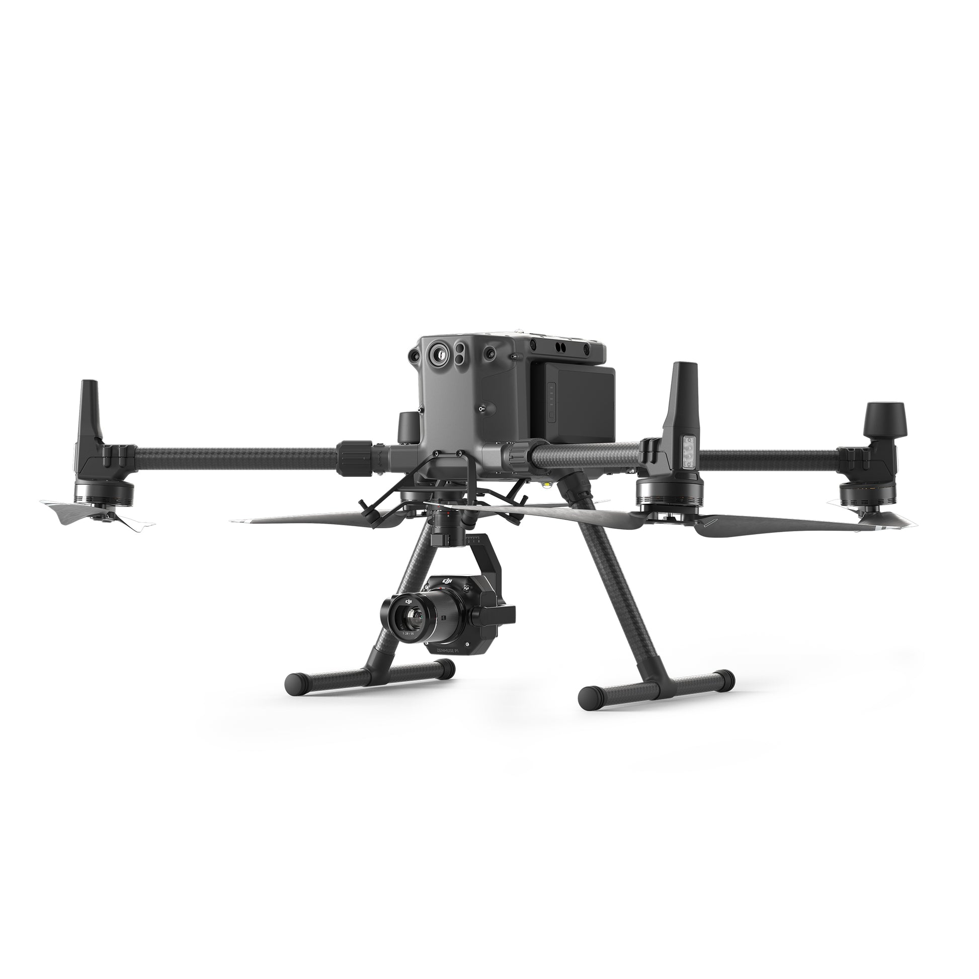
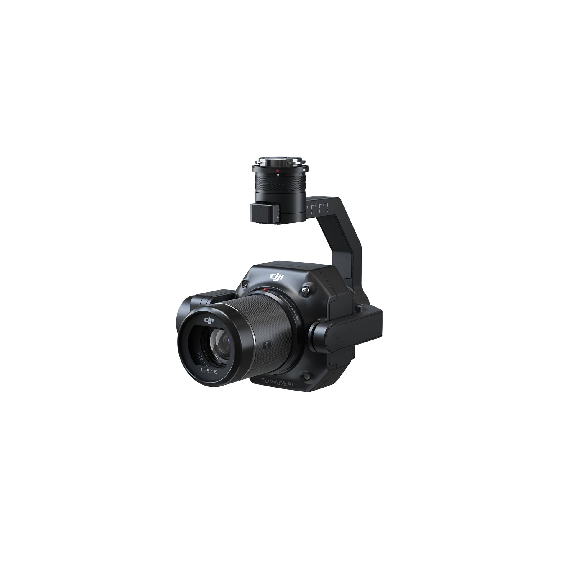
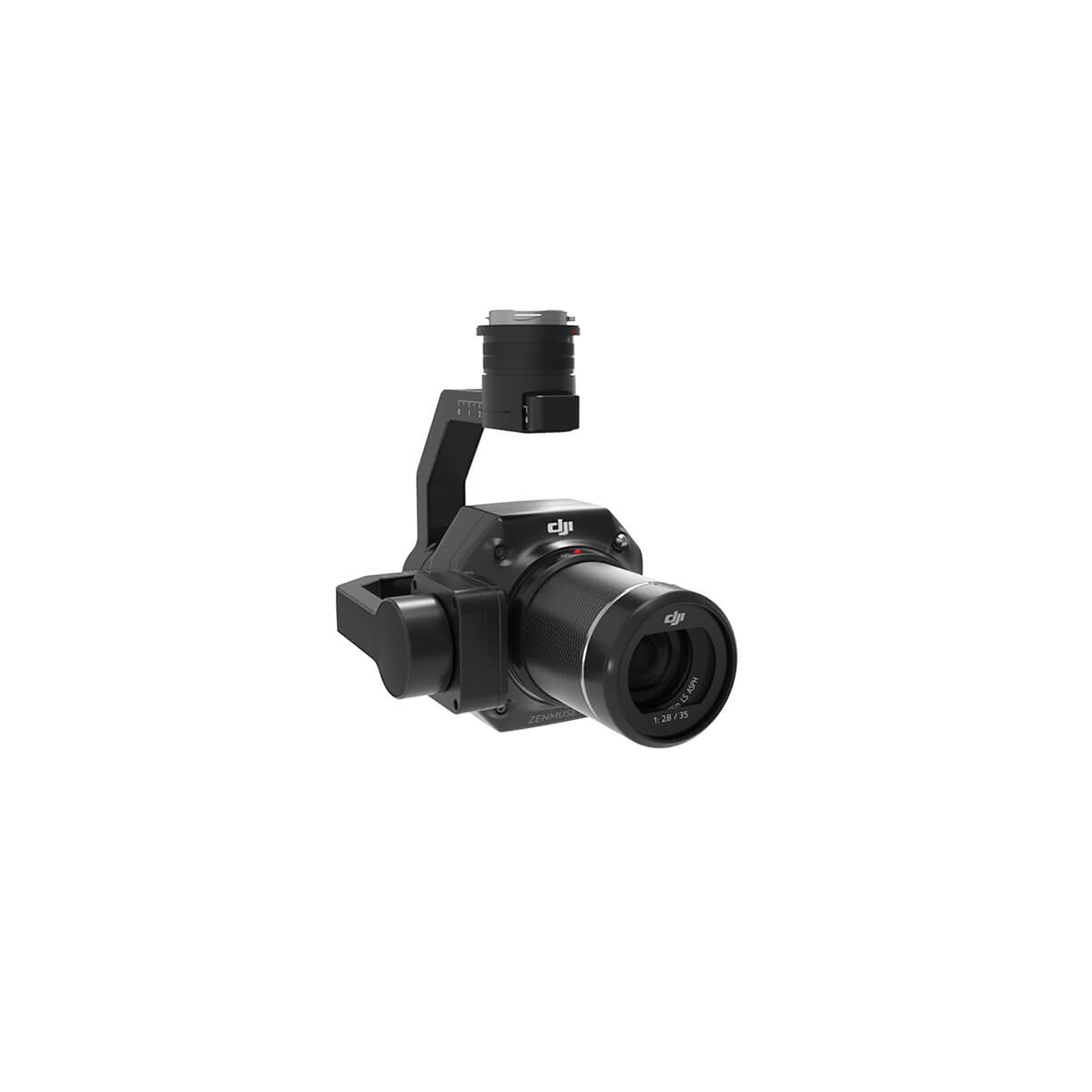
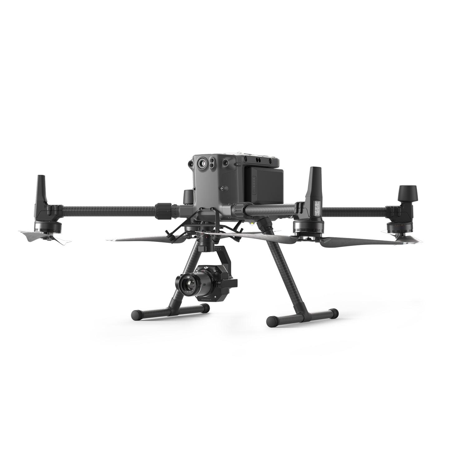
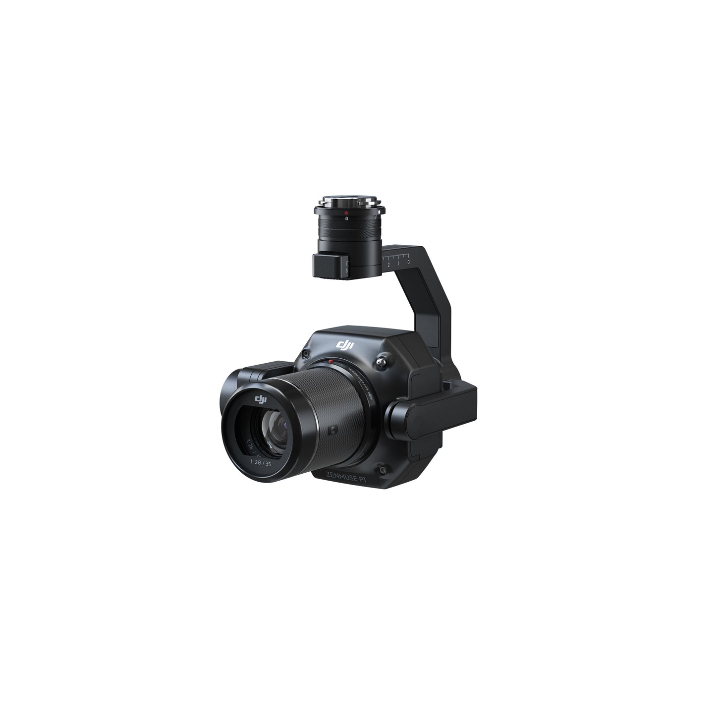
The DJI Zenmuse P1 is DJI’s flagship photogrammetry payload, purpose-built for high-precision surveying and mapping missions. Designed to work flawlessly with the DJI Matrice 300 RTK, the P1 features a 45MP full-frame sensor, mechanical global shutter, and Smart Oblique Capture mode—making it the go-to solution for geospatial professionals who demand speed without sacrificing accuracy.
Whether you're mapping large-scale infrastructure, documenting archaeological sites, or conducting corridor surveys, the P1 offers results that previously required hours of flight and post-processing—now done in a fraction of the time.
What's in the Box:
-
DJI Zenmuse P1 Camera
-
DJI DL 35mm Lens (optional – select variant)
-
Storage Case
-
Lens Hood
-
Gimbal Protector
-
User Manual
Key Features:
✅ 45MP Full-Frame Sensor – Exceptional clarity and low-noise performance, even in low-light conditions.
✅ Mechanical Global Shutter – Eliminate rolling shutter distortion and capture sharp, distortion-free images.
✅ Smart Oblique Capture – Automatically captures and prioritizes the most useful angles for 3D modelling.
✅ Interchangeable Lens Support – Compatible with DJI DL 24mm, 35mm, and 50mm lenses.
✅ TimeSync 2.0 – Microsecond-level data syncing across flight controller, RTK, camera, and gimbal for centimetre-grade accuracy.
✅ Efficient Workflow – Cover up to 3 km² in a single flight with automated mission planning in DJI Pilot.
✅ Seamless Integration – Native support for DJI Terra for post-processing and model generation.
Technical Specs:
Sensor: 45MP full-frame CMOS (3.76μm pixel size)
Lens Mount: DJI DL (supports 24mm, 35mm, 50mm)
Image Size: 8192×5460
Shutter Type: Mechanical & Global Electronic Shutter
Max Photo Interval: 0.7 seconds
Weight: Approx. 800g (including lens)
Compatibility: DJI Matrice 300 RTK
Applications:
-
🔍 Topographic & Cadastral Mapping
-
🏗 Infrastructure and Construction Modelling
-
🛣 Corridor Mapping (roads, pipelines, power lines)
-
🌆 Urban Planning & 3D Reality Capture
-
📍 Surveying and Land Management
Delivery
Delivery
Free UK Delivery Over £100 (£8 if under)
Pre-Order Only - Allow 4-6 weeks For Delivery
Free Demo Or More Info: Contact Us Now
Finance
Finance
Finance available on this product - Simple and low cost. For more information Click Here
What can we help you with today?
-
Rental Options
Product Rental -
Request a Demo
Get a Demo -
Ask a Question?
Contact Us
