DJI Terra
DJI Terra
Enquire for Prices and Availability - Secure Yours Now
Share Product
- Free UK Delivery (Orders Over £100)
- Price Checked (Best Price Guaranteed)
- UK Based (Approved Dealer)
What Is DJI Terra? All-in-one drone mapping solution.
DJI Terra is a 3D modelling and drone mapping software package.
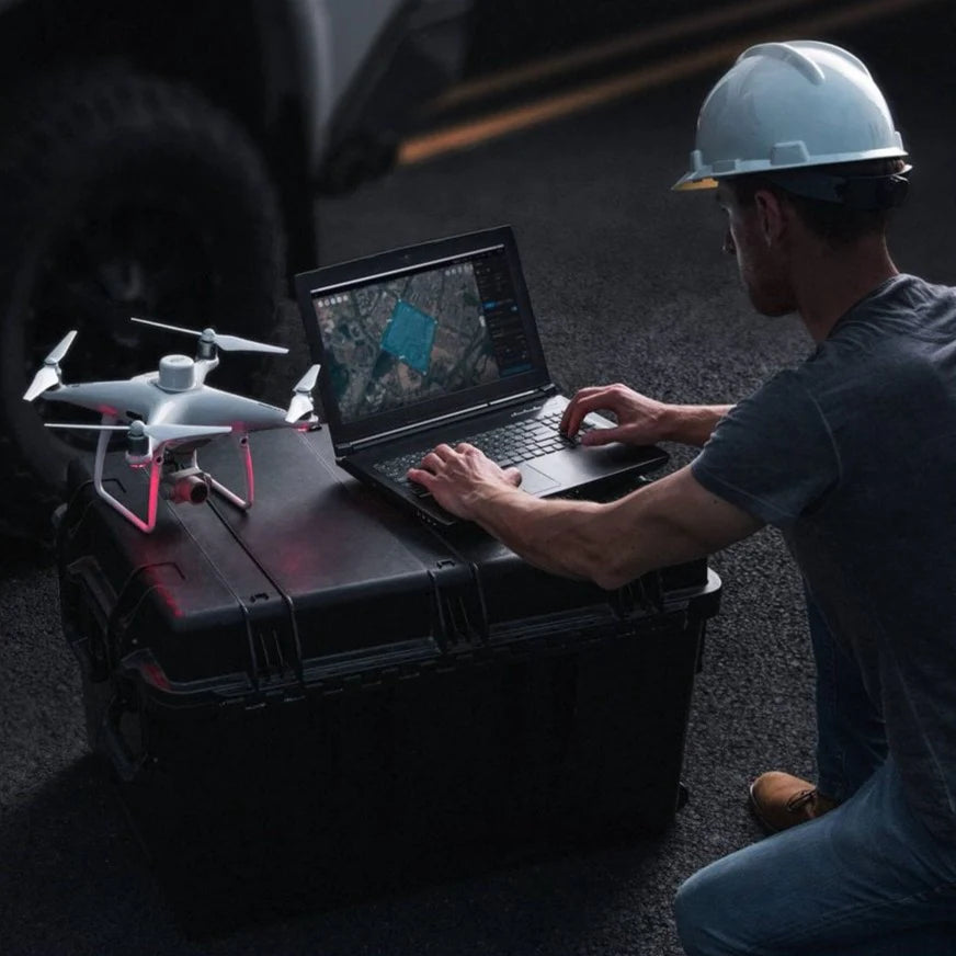
This all-in-one drone mapping solution allows pilots to automate flight routes and collect real-time insights, helping surveyors plan, visualise, process, and analyse drone mapping data.
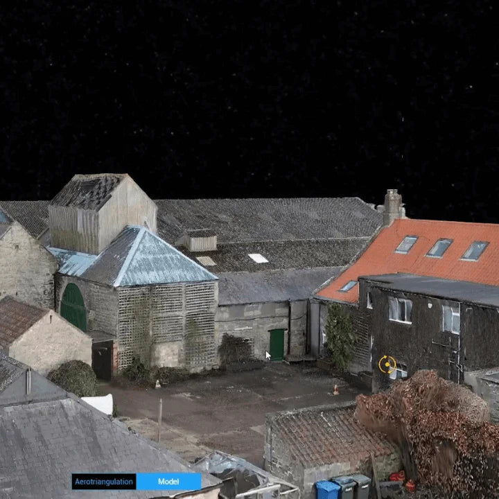
Thanks to DJI Terra, photos captured from your DJI drone can be transformed into high-resolution 2D orthomosaics and fully-navigable 3D reconstructions, allowing organisations to analyse data much more easily and accurately.
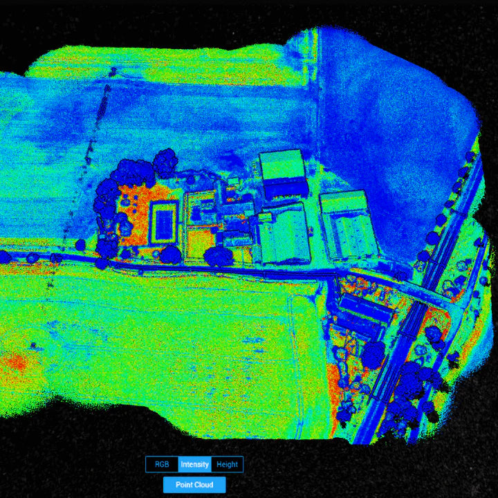
DJI Terra can also be used as an end-to-end drone LiDAR solution, when used in conjunction with the Zenmuse L1.
DJI Terra can benefit a variety of applications, such as public safety, construction, infrastructure, and agriculture.
Four types of licence are available for DJI Terra - Agriculture, Pro, Electricity and Cluster - offering a suite of mapping software capabilities and allowing operators to choose the best option for them. Online and offline options are available, depending on the license.
DJI Terra is available to purchase through us - a trusted DJI partner providing drone supply and support to surveying companies around the world.
Delivery
Delivery
Free UK Delivery Over £100 (£8 if under)
Finance
Finance
Finance available on this product - Simple and low cost. For more information Click Here



What can we help you with today?
-
Rental Options
Product Rental -
Product Support
Product Support -
Ask a Question?
Contact Us
