
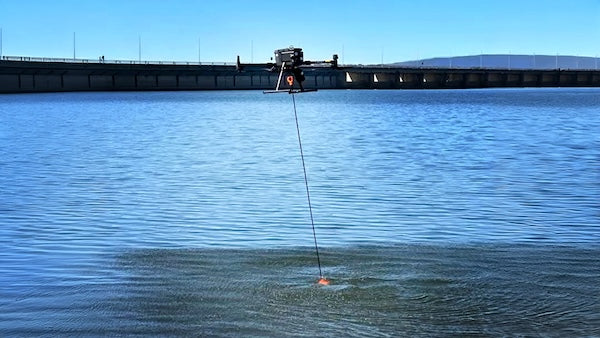
Tech Comparison: Drone Echo Sounders vs. Traditional Methods
Share
| Feature | Drone Echo Sounders (Aerial/USV) | Traditional Methods (Boat-based or manual) |
|---|---|---|
| Access to Remote/Dangerous Areas | Excellent – can access shallow, hazardous, or inaccessible zones without risk to human operators. | Limited – requires launch sites, safe navigation routes, and physical access. |
| Speed of Deployment | Very fast – can launch in minutes; no need for a boat ramp or large crew. | Slow – needs boat prep, crew mobilisation, and safe launch/retrieval. |
| Survey Speed / Efficiency | Fast – autonomous or semi-autonomous with repeatable paths. | Slower – manually operated boats often affected by weather/tide and crew skill. |
| Accuracy | High – especially when paired with RTK GNSS and quality sounders (e.g., Cerulean, Norbit). | Also high – commercial-grade boats with multibeam and RTK GNSS provide top-tier results. |
| Cost | Lower capex and opex – no fuel, small team, lightweight kit. | High – vessel, fuel, insurance, trained crew, maintenance. |
| Environmental Impact | Low – electric, quieter, minimal wake. | Higher – fuel emissions, noise pollution, and risk of aquatic disturbance. |
| Data Collection in Shallows | Superior – excels in <1m depth where boats can’t operate. | Poor – many hulls draw >0.5m, limiting ultra-shallow work. |
| Autonomy & Repeatability | Fully autonomous (e.g., SPH Blue Boat with EIVA/Navimodel support). | Manual unless heavily equipped – more human error. |
✅ Use Cases Where Drones Beat Traditional Methods
Emergency response (flood mapping, dam inspection, search and rescue).
Environmental and conservation work (wetlands, coral reefs).
Rapid survey of construction or dredging zones.
Pre-dive reconnaissance for ROV or diver deployment.
Remote areas with no boat access (e.g., behind levees or marshland).
🚫 Limitations of Drone Echo Sounders
Payload limitations restrict sonar types (no deep-water MBES on most drones).
Wind/weather-sensitive for aerial drones; USVs can still be affected by chop or current.
Regulatory constraints – airspace, line of sight, and waterway permissions.
Data resolution may not match high-end multibeam systems used on survey vessels.
🔧 Bottom Line
Drone echo sounders (aerial with GPR/altimeters or USV-based with single/multibeam) are game-changers for shallow, fast, and low-risk surveys. They won't fully replace traditional boat-based methods in deep-sea or heavy industrial applications, but for the littoral, intertidal, urban, and inaccessible zones, they're faster, safer, and cheaper.
If you're doing high-volume hydro surveys with accuracy demands in shallow or dynamic environments, you'd be crazy not to consider drone-based solutions.
Want a real-world case or setup recommendation?