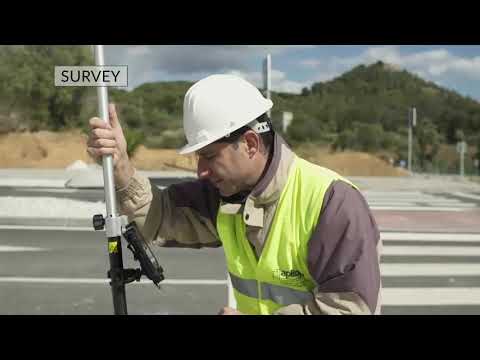
AlphaGeo proudly offers the full Aplitop software suite, designed for modern surveyors, civil engineers, and geospatial professionals. Aplitop’s innovative applications for topographic surveys, GNSS/GPS data collection, road and land design, and tunnel construction are trusted by industry experts across the globe.
Aplitop Software Solutions – Surveying & Geospatial Intelligence
Our collection includes:
TcpGPS for Android – Mobile GNSS data collection with powerful real-time mapping tools. Available in PROV2 and V2 variants, with Annual and Permanent licenses.
TcpMDT Standard – Streamlined surveying, mapping, and surface modelling. Ideal for topographic work and site grading. Includes Annual, Permanent, and Maintenance options.
TcpMDT Professional – Advanced features for civil engineering, including road design, plot subdivision, and 3D terrain modelling. Offered as Single or Network licenses with flexible durations.
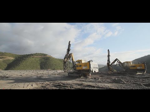
TcpTunnel – Real-time tunnel guidance and inspection from total station or scanner input. Designed for infrastructure and underground construction specialists.
TcpStereo – Photogrammetry-based stereoplotting tool compatible with various CAD environments.
Photogrammetry & Point Cloud Tools – Efficient processing and analysis of photogrammetric data from UAVs, LiDAR, or laser scanning systems.
Every license is supplied with expert AlphaGeo support and optional training, helping you unlock the full power of Aplitop’s solutions on your projects.